Saturday, 30 March 2019

Forty Two - Shropshire - Brown Clee Hill (540m)

Walk to highest point takes 
us along the Shropshire Way

After a bit of a break, our first "County Top" for a few months, and the first of 2019. At 540 metres, Brown Clee Hill is the highest of the Shropshire Clee Hills. We were staying in Ludlow, and having taken advantage of all the lovely food on offer (esp. the French Pantry the night before) we needed some exercise.


Misty start to the walk. Unable to see 
the tops of the Clee Hills ahead.

We set off from Abdon  village and eventually made it onto Clee Liberty Common despite taking a slightly wrong turn and getting chased down the road by some truly vicious farm dogs.  We followed the old quarry road up to Nordy Bank, the only one of three iron age  hill  forts which remains. The fort has ramparts up to 3 m high and you can still climb up them and pretend to be an iron age guardsman. At this point the mist was beginning to burn off and we could see the horseshoe of our walk open up before us.


Inquisitive lambs

Further up are several  telecommunications masts due to the hills' height relative to the rest of the area. The Clee Hills are reportedly the highest land mass going east until the Urals, and during World War II twenty three German and Allied airmen were killed in numerous separate incidents when their planes crashed into it, and we walked past a memorial to the dead on our way to the summit.

Transmitter above the old quarry workings. 
Highest point now just visible in the distance

Brown Clee Hill was the site of more WW2 
aircraft crashes than any other hill in the UK

A topograph has been erected at the top engraved with a  few lines of poetry by AE Housman. I think they're probably from A Shropshire Lad. This seemed like an excellent spot for lunch, after which we began our descent round and down back to Abdon.

Close-up of topograph confirming the height
 at 540m, the highest point in Shropshire

Dual transmitters and topograph pillar on 
top of Brown Clee Hill

Looking west - the mist starts to clear, but the 
Stiperstones and Long Myndd still not visible

As we'd made good time there was still enough daylight for a drive across to the very welcoming Stiperstones Inn and a quick circuit of the Stones themselves and the Devil's Chair.

Sunday, 9 December 2018

Forty One - West Yorkshire - Black Hill (582m)

Park by the A635 and start out 
onto the Pennine Way

Flagstone path makes the route 
across the wet peat bog much easier

Mr & Mrs Peaky Finder 
at the summit.

J with eldest daughter by 
the (leaning) trig point

Wednesday, 26 September 2018

Forty - Oxfordshire - White Horse Hill (Uffington) (261m)

A pleasant short walk (taken as a rest point on our journey home from Stansted Airport after a week in Malta). The White Horse is a bit elusive. We walked all around it, including looking down from the summit, but it is pretty hard to get a good view of it in it's entirety from ground level. Apparently it's better viewed from the air - so looks like the Ancient Britains were ahead of the game in predicting  the invention of the drone and helicopter! It is the oldest of all the white horses in the UK. More information - and better (aerial) photos - available here - Wikipedia
Trig point - not quite highest point - photo taken
on the ancient earthworks, which is the high spot.

Stood above the white horse, looking down on it's
head & neck. Dragon Hill on the left - flat topped.

The best view in terms of seeing all of the
white horse from ground level.

Monday, 9 July 2018

Thirty Nine - Ceredigion - Plynlimon (752m)

Big skies and "cloud corridors" from
the roof of Ceredigion.

Water trickling down from springs
despite driest spell for several decades

Weather-worn trig point at the top


Panorama showing trig point, low
reservoir, and distant Irish sea

View of Plynlimon on the
descent back down

Tuesday, 29 May 2018

Thirty Eight - Cumbria - Scafell Pike (978m)


50th Birthday Hike.
Highest man in England! 

Colourful mountain sheep

Leaving Langdale, and starting the
ascent of Rossett Pike in the distance

Once over Rossett Pike, the
view down to Angle Tarn

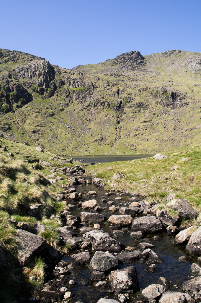
The outflow from Angle Tarn

Busy at the summit of Scafell Pike!

Highest dog in England!

Selfie at the top!

Panoramic view of the intersection
 of tracks at Esk Hause

Heading back down towards Langdale

Well deserved pint at the
Old Dungeon Ghyll


Profile of the route.
12.5 miles up and down

Sunday, 27 May 2018

Thirty Seven - Lancashire - Gragareth (628m)

Another remote area. Can you spot
our car in the centre of the photo?

Open-Access land in the Yorkshire Dales National Park.
Highest point straddles boundary between N Yorks & Lancs.

One of the "Three Men of Gragareth".

Trig pillar at highest point. (In distance is
the flat top of Ingleborough in North Yorks).

Thirty Six - North Yorkshire - Whernside (736m)

Walking alongside the impressive
Ribblehead Viaduct

A very remote signal box at  Blea
Moor - a lonely job for someone.


Looking at the tunnel towards
Carlisle and away from Settle

Trig point and gateway marking the
highest point on the Whernside ridge

Looking down towards Ribblehead viaduct

Walking back towards the viaduct

Looking back at Whernside

Returning under the viaduct at Ribblehead

A well deserved drink at the
Station Inn at Ribblehead