 |
Park by the A635 and start out
onto the Pennine Way
|
 |
Flagstone path makes the route
across the wet peat bog much easier
|
 |
Mr & Mrs Peaky Finder
at the summit.
|
 |
J with eldest daughter by
the (leaning) trig point
|
 |
| Trig point - not quite highest point - photo taken on the ancient earthworks, which is the high spot. |
 |
| Stood above the white horse, looking down on it's head & neck. Dragon Hill on the left - flat topped. |
 |
| The best view in terms of seeing all of the white horse from ground level. |
 |
| 50th Birthday Hike. Highest man in England! |
 |
| Colourful mountain sheep |
 |
| Leaving Langdale, and starting the ascent of Rossett Pike in the distance |
 |
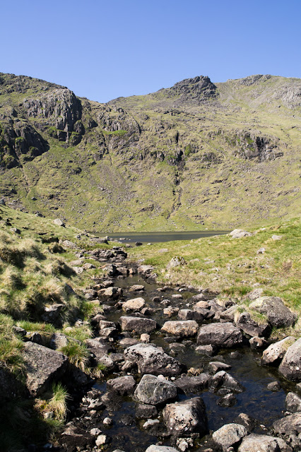
| Once over Rossett Pike, the view down to Angle Tarn |
 |
| The outflow from Angle Tarn |
 |
| Busy at the summit of Scafell Pike! |
 |
| Highest dog in England! |
 |
| Selfie at the top! |
 |
| Panoramic view of the intersection of tracks at Esk Hause |
 |
| Heading back down towards Langdale |
 |
| Well deserved pint at the Old Dungeon Ghyll |
 |
| Profile of the route. 12.5 miles up and down |
 |
| Another remote area. Can you spot our car in the centre of the photo? |
 |
| Open-Access land in the Yorkshire Dales National Park. Highest point straddles boundary between N Yorks & Lancs. |
 |
| One of the "Three Men of Gragareth". |
 |
| Trig pillar at highest point. (In distance is the flat top of Ingleborough in North Yorks). |
 |
| Walking alongside the impressive Ribblehead Viaduct |
 |
| A very remote signal box at Blea Moor - a lonely job for someone. |
 |
| Looking at the tunnel towards Carlisle and away from Settle |
 |
| Trig point and gateway marking the highest point on the Whernside ridge |
 |
| Looking down towards Ribblehead viaduct |
 |
| Walking back towards the viaduct |
 |
| Looking back at Whernside |
 |
| Returning under the viaduct at Ribblehead |
 |
| A well deserved drink at the Station Inn at Ribblehead |